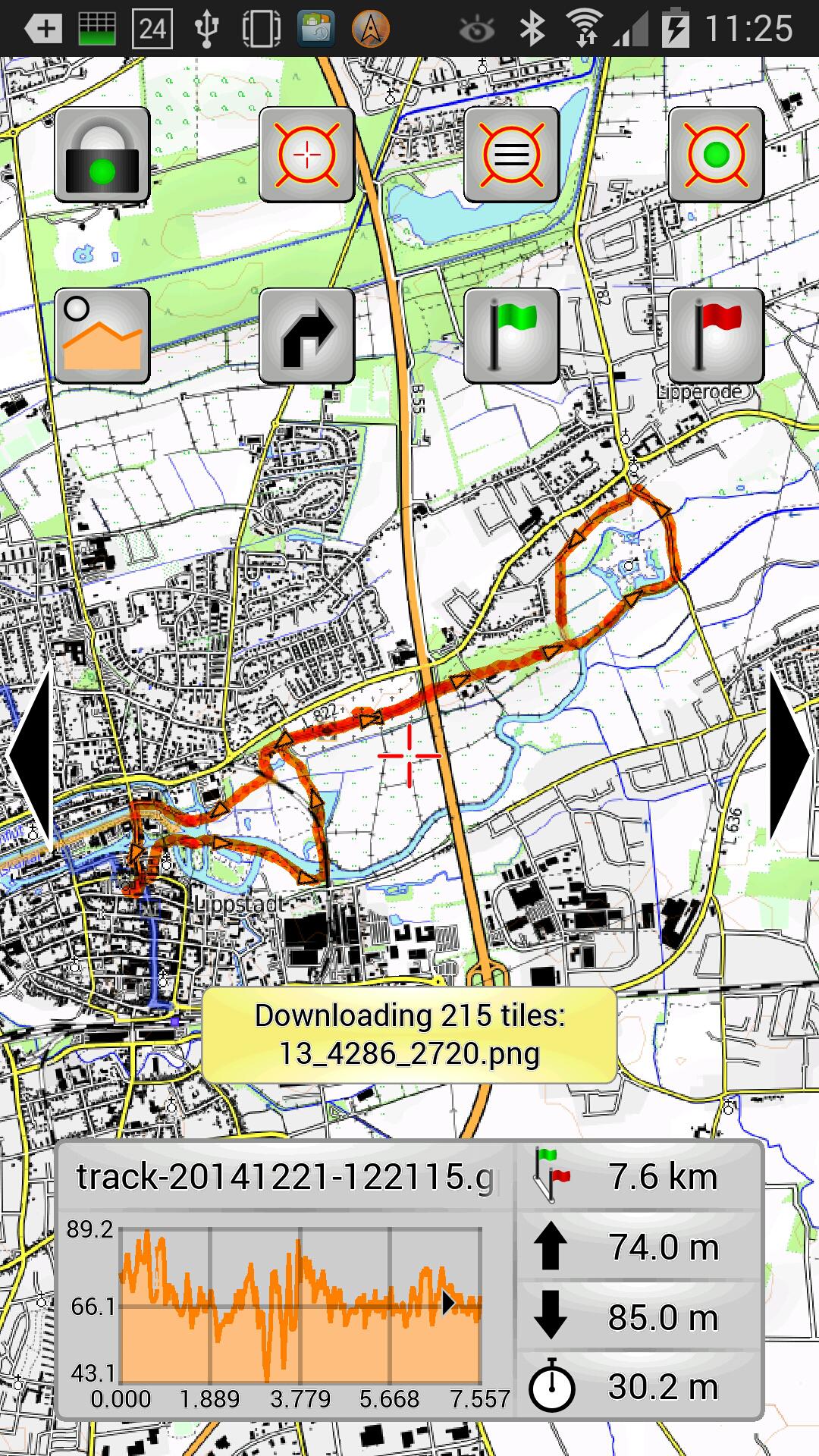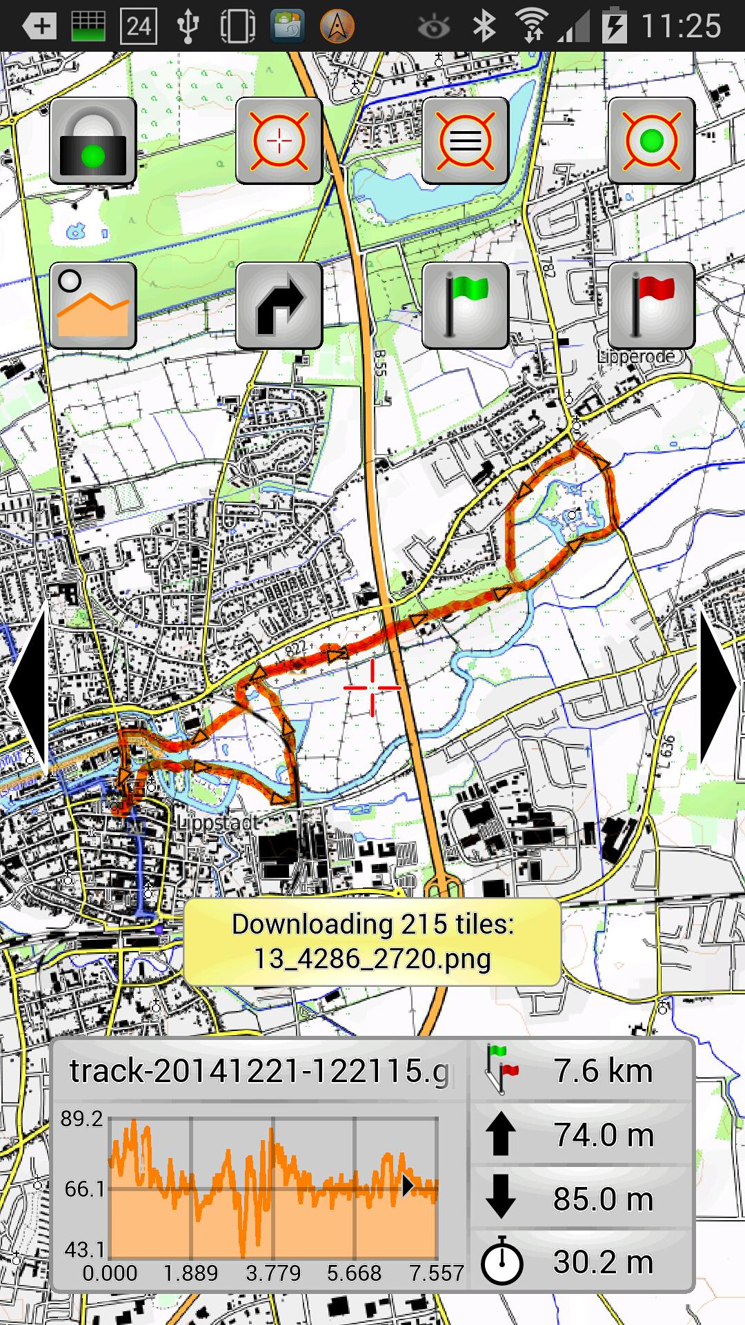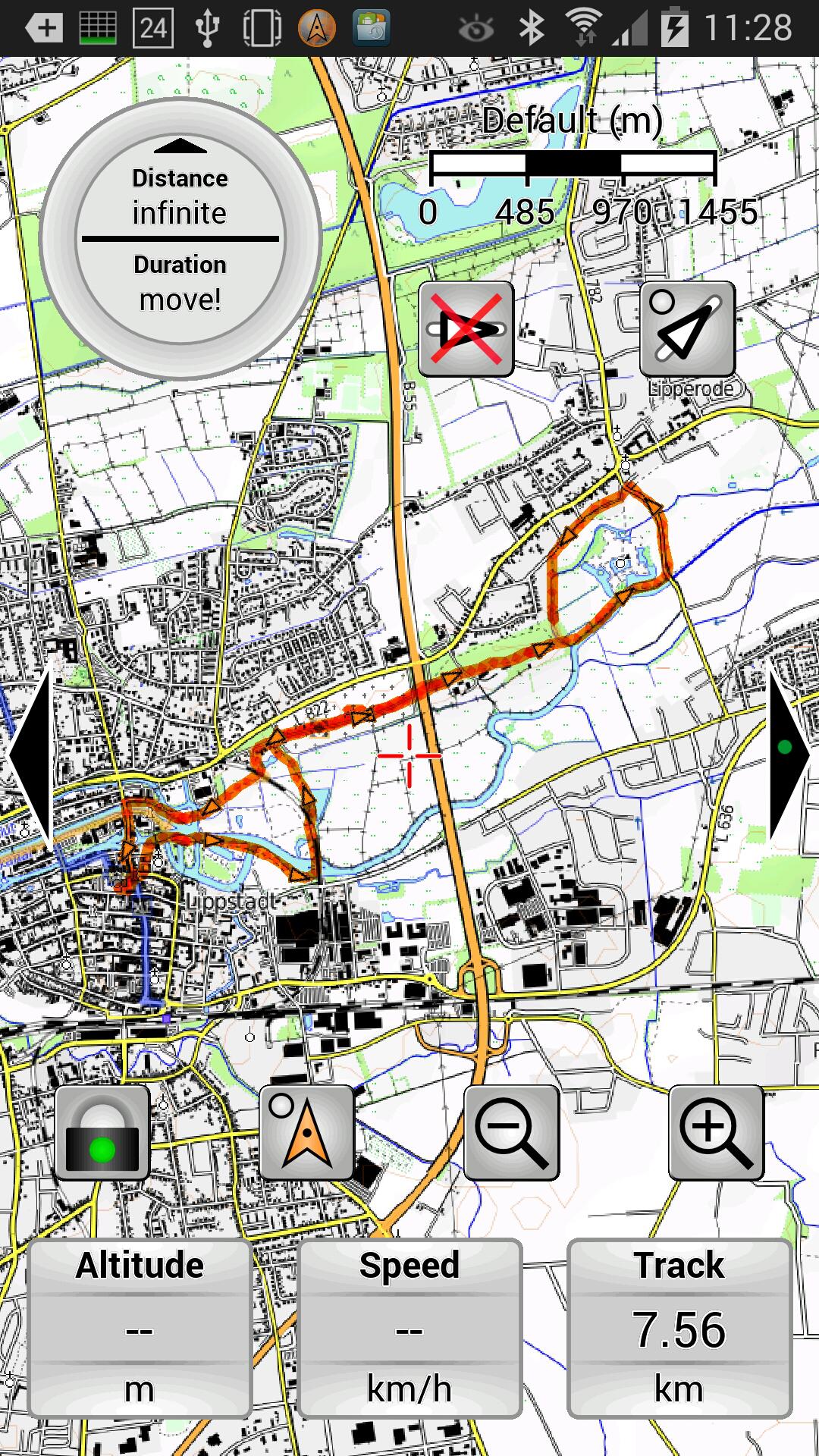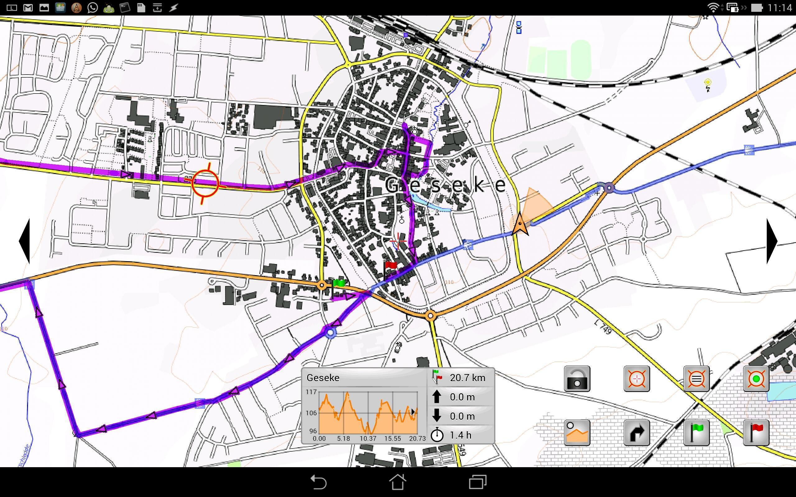


Navigation solution with turn-by-turn instructions along GPX routes.
Here are the main features:
- Online and offline maps
- Fast map display with arbitrary rotation and zoom
- Track recording
- Display of arbritrary number of GPX routes
- Start and end flags on routes allow planning of day trips along long routes
- Widgets show infos about tracks and routes (e.g., altitude profile)
- Navigation to a given target or along a route with turn indication
- Navigation instructions can be displayed on a compatible smart watch (e.g., Meta Watch Frame, Android Wear devices) or ebook reader (e.g., Icarus Illumina)
- Voice navigation available for routes (off route indication and upcoming turns)
- Extensive help explains all features
- Offline maps can be created from various sources (scanned maps, GeoTIFFs, Windows map software, ...)
- Online maps can be downloaded to the device (either from a visible area or along a route)